


|
|

Powerful cartography software
for Adobe Illustrator
When Map Quality Matters®
Mapping solutions for the 21st century®
Finally, high-quality map production software that works. MAPublisher® cartography software seamlessly integrates over fifty GIS mapping tools into the Adobe Illustrator environment to help you create maps the way you want, how you want.
Import the most widely used GIS data formats, including those from Esri, MapInfo, FME Desktop, AutoCAD, Google and the U.S. Government. Export data to a wide variety of standard GIS formats including the ability to export documents to geospatial PDF and take them mobile with theAvenza Maps app. See all MAPublisher supported formats.
All GIS data attributes and geographic parameters are maintained and editable. Use MAPublisher tools to create, query, and select features and attributes.
MAPublisher supports Esri ArcGIS 10 geodatabases and ArcMap document (MXD) files*. Connect to Personal, File and ArcSDE geodatabases with ease. Learn more about geodatabase support in MAPublisher.
Cartography with MAPublisher is now faster, easier, and better than it has ever been. When used together with Geographic Imager for Adobe Photoshop, they form the perfect vector and raster map creation software package for the Adobe Creative Cloud and Suite.

MAPublisher Features

MAP Themes provide tools for a variety of thematic mapping operations. Stylesheet themes are used for quick, easy and accurate styling of points, lines, areas and text. Chart themes produces feature specific bar and pie charts while Dot Density themes aid in the creation of thematic dot density maps.
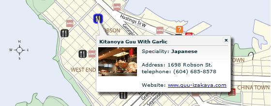
MAP Web Author works seamlessly with existing Adobe Illustrator and MAPublisher tools to produce interactive web maps in both HTML5 and Flash formats. Work directly from an Illustrator map document, to combine GIS data, attribute information, symbols, graphic styles and images to create a web map with layer controls, pan and zoom controls, roll-overs and pop-ups. Cartographic quality web map production has never been simpler and more efficient. HTML5 maps work on mobile devices.

MAPublisher tools seamlessly integrate into the user interface and can be resized, moved, and docked just like native Adobe Illustrator panels. The MAPublisher Toolbar allows you to easily launch all the main MAPublisher tools in a single click. Manage map layers, view map attributes, create and edit stylesheets, create selection filters, plot points and much more
MAP Themes provide tools for a variety of thematic mapping operations. Stylesheet themes are used for quick, easy and accurate styling of points, lines, areas and text. Chart themes produces feature specific bar and pie charts while Dot Density themes aid in the creation of thematic dot density maps.